
Nigeria Admin Divisions MCP by Wycord
MCP serverOffline list of Nigeria's 36 states, FCT and 774 LGAs for AI agents
Runs locally- 2 tools
- Open source
- Maps and travel
Offline list of Nigeria's 36 states, FCT and 774 LGAs for AI agents
Runs locallyFind Nigerian health facilities near a point, sorted by distance
Runs locallyNigeria UN SDG indicators for AI agents: poverty, mortality, energy, education
Runs locally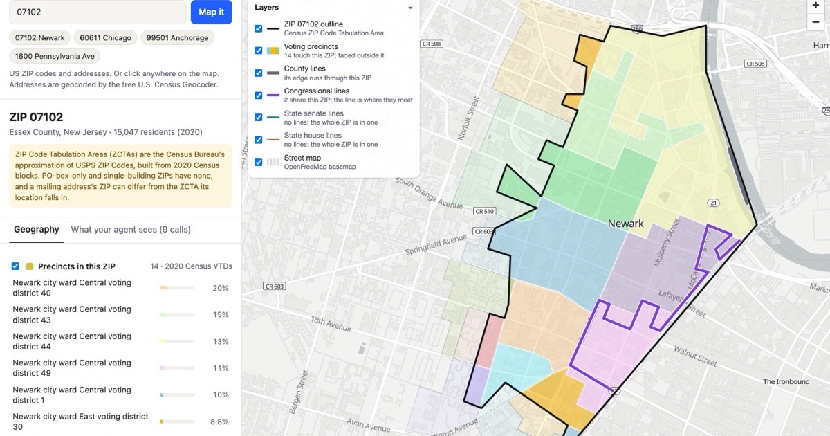
Free MCP server for US and Canadian boundaries, ZIP crosswalks and GeoJSON
Not checked yetIMF World Economic Outlook projections for Nigeria, for AI agents
Runs locally
Query India's open boundary and geo layers, from states to village polygons, via MCP
Pay-per-call UK postcode data: census, house prices, EPC, deprivation, schools and rail
Not checked yet
Get the polygon for any country, city or postcode, or describe an area in plain words
Not checked yet
MCP server for sourced flood, wildfire, soil, grid and parcel data at any US location
Not checked yetMCP server giving AI clients US NWS weather alerts by state and short-term point forecasts
Not checked yetMCP server giving AI clients UK postcode lookup and geocoding through a hosted endpoint
Not checked yet
MCP server for official cadastral parcel data from 29 European countries
Not checked yet
Remote MCP server for Google Maps local rank grids, billed per measured point
Not checked yetThe closest alternatives to Nigeria GRID3 Boundaries MCP by Wycord are Nigeria Admin Divisions MCP by Wycord, Nigeria Health Facility MCP by Wycord, Nigeria UN SDG MCP by Wycord, Boundary Atlas and Nigeria IMF WEO MCP by Wycord.
Yes. Nigeria Admin Divisions MCP by Wycord, Nigeria Health Facility MCP by Wycord, Nigeria UN SDG MCP by Wycord have a free or open-source option.